Mount Kilimanjaro
Umbwe Route
The steepest, most direct route up Kilimanjaro.
- Duración
- 6–7 días
- Distancia
- 53 km
- Cumbre
- 5,895 m
- Alojamiento
- Acampada
- Afluencia
- Tranquila
- Dificultad
- Muy difícil
The Umbwe Route climbs a narrow forested ridge straight up Kilimanjaro's southern slopes to the Barranco Valley. It is short, steep and quiet, and best suited to fit, experienced trekkers.
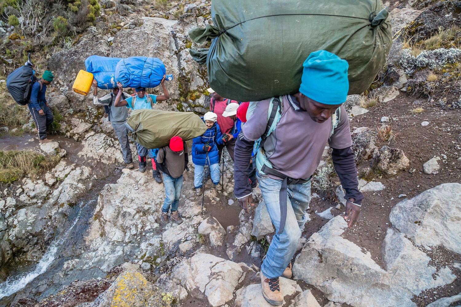
At about 53 km, Umbwe is the shortest route to Uhuru Peak and by far the steepest. From Umbwe Gate the trail climbs a knife-edged ridge between two deep river gorges, so steep in places that you pull yourself up on tree roots. In two days you gain more than 2,300 m, from the gate at 1,640 m to Barranco Camp at 3,960 m.
A Ridge Through the Forest
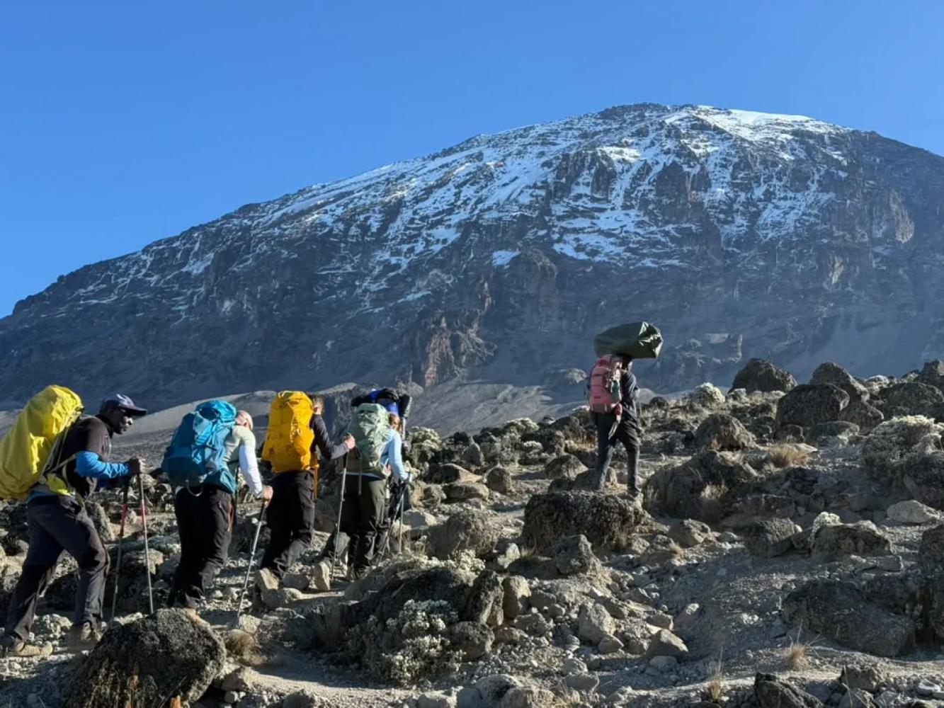
The first day is spent in some of the densest and least disturbed rainforest on the mountain, ending at Umbwe Cave Camp (2,850 m). The second day breaks out of the trees onto a rocky spine with the Barranco Valley falling away on one side and, in clear weather, the whole Western Breach and southern icefields ahead.
Why Altitude Is the Real Challenge
Umbwe's fast ascent gives the body little time to adjust, which is why its summit success rate is lower than on longer routes. Our "modified" Umbwe itinerary adds a night at Karanga Camp on the southern circuit, turning the push to high camp into two short days and giving you a better chance on summit night.
From Barranco to the Summit
At Barranco Camp Umbwe joins the Machame and Lemosho routes: up the Barranco Wall, across to Karanga, then to high camp and the crater rim at Stella Point. The descent is by the Mweka Route.
Por qué elegir esta ruta
- The most direct line to the Barranco Valley
- A dramatic ridge climb through untouched rainforest
- Very few other climbers for the first two days
- Views into the Western Breach from the upper ridge
Información útil
- Steep and sustained: not recommended for a first high-altitude trek
- Fast height gain means a higher risk of altitude sickness
- The ridge is slippery after rain
- Our climbs summit from Kosovo Camp (4,800 m), a permit-only camp above Barafu that shortens summit night by about an hour.
Mapa de la ruta
Mapa de la Umbwe Route
El sendero tal como discurre sobre el terreno, con cada puerta, campamento y punto alto. Toque un lugar de la lista para verlo en el mapa.
Altitud
Perfil de altitud
Hasta dónde sube y dónde duerme. Las bajadas en la línea son días de «subir alto, dormir bajo», que ayudan al cuerpo a adaptarse.
Día a día
Itinerario de la Umbwe Route
Este es el plan que seguimos en nuestro «Kilimanjaro, ruta Umbwe – 6 días».
Traslado desde Arusha a la puerta de Umbwe y subida empinada por una selva densa, usando las raíces de los árboles como escalones, por una estrecha cresta hasta el campamento junto a las cuevas de Umbwe.
Noche: Campamento Umbwe Cave
Se continúa por la cresta entre brezales y páramo, con vistas espectaculares de la Western Breach, y se desciende al valle de Barranco para acampar entre senecios gigantes.
Noche: Campamento Barranco
Trepada por el Barranco Wall y continuación por el circuito sur hasta el campamento Karanga. Esta noche extra es lo que hace «modificada» nuestra ruta Umbwe: da al cuerpo tiempo para aclimatarse.
Noche: Campamento Karanga
Subida por el desierto alpino, pasando Barafu, hasta el campamento Kosovo, el campamento base más alto, que acorta la noche de cumbre. Cena temprana y descanso antes del intento de cumbre.
Noche: Campamento Kosovo
Despertar hacia medianoche y ascenso con frontal desde el campamento Kosovo por las laderas de grava hasta Stella Point, en el borde del cráter, adonde se llega cuando sale el sol sobre el Mawenzi. Desde allí, una hora aproximadamente por el borde, junto a los glaciares, lleva al Uhuru Peak, el punto más alto de África. Tras las fotos en la cumbre, descenso al campamento Mweka, en el bosque, para una cena y un descanso bien merecidos.
Noche: Campamento Mweka
Un último descenso por la selva, a menudo con monos colobos en los árboles, hasta la puerta de Mweka. Entrega del certificado de cumbre, despedida del equipo y regreso a Arusha para una ducha caliente y una cena de celebración.
Noche: Arusha
Información útil
Umbwe Route: preguntas frecuentes
How hard is the Umbwe Route? +
It is the hardest of the standard routes: the first two days are very steep, and the fast ascent leaves little time to acclimatise. It suits fit trekkers with previous experience at altitude.
Is the Umbwe Route technical? +
No. It is steep and you use your hands on roots and rock in places, but no ropes or climbing skills are required.
How many days does the Umbwe Route take? +
Six or seven days. Our six-day "modified" Umbwe includes a night at Karanga Camp to improve acclimatisation.
Comparar
Otras rutas al Mount Kilimanjaro
 6–7 días
La ofrecemos
6–7 días
La ofrecemos
The "Whiskey" Route
Machame Route
Kilimanjaro's most popular route: rainforest, the Lava Tower and the Barranco Wall.
- Distancia
- 62 km
- Dificultad
- Exigente
- Alojamiento
- Acampada
- Afluencia
- Muy concurrida
 7–8 días
La ofrecemos
7–8 días
La ofrecemos
Lemosho Route
The most beautiful way up: a quiet western start across the Shira Plateau.
- Distancia
- 70 km
- Dificultad
- Exigente
- Alojamiento
- Acampada
- Afluencia
- Afluencia media
 5–6 días
The "Coca-Cola" Route
Marangu Route
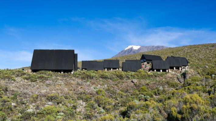
The only Kilimanjaro route with mountain huts instead of tents.
- Distancia
- 72 km
- Dificultad
- Moderada
- Alojamiento
- Refugios
- Afluencia
- Muy concurrida
¿Listo para ascender el Mount Kilimanjaro?
Cuéntenos sus fechas, su forma física y lo que quiere ver. Le recomendaremos la montaña y la ruta que le dan las mejores opciones de una gran ascensión.
Plan Your Safari