Mount Kilimanjaro
Lemosho Route
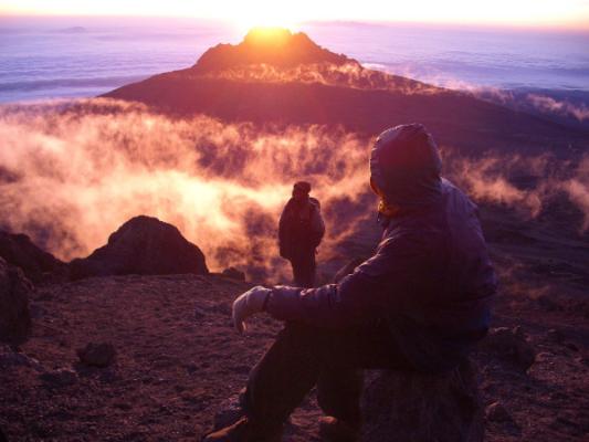
The most beautiful way up: a quiet western start across the Shira Plateau.
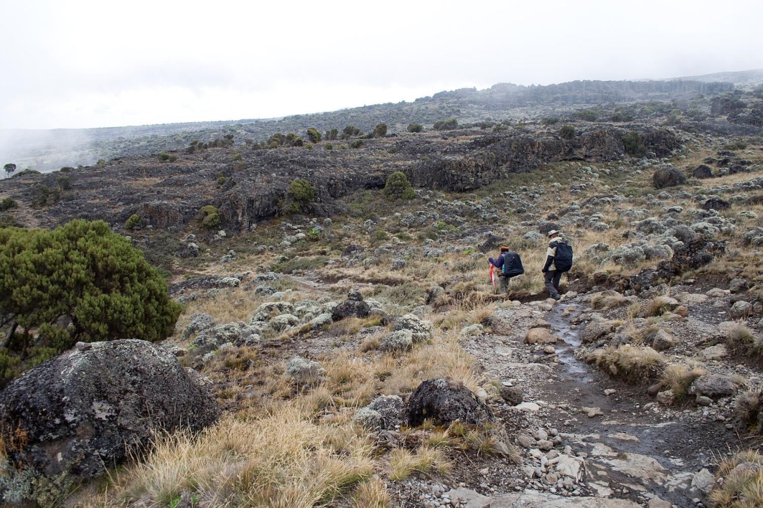
Foto: Stig Nygaard, CC BY 2.0
- Duración
- 7–8 días
- Distancia
- 70 km
- Cumbre
- 5,895 m
- Alojamiento
- Acampada
- Afluencia
- Afluencia media
- Dificultad
- Exigente
The Lemosho Route approaches Kilimanjaro from the remote west, crosses the whole Shira Plateau and joins the southern circuit. Eight days give excellent acclimatisation and one of the highest summit success rates.
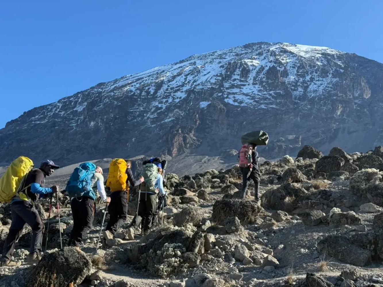
Lemosho is widely considered the most beautiful route on Kilimanjaro. After registering at Londorossi Gate on the far western side of the mountain, you drive to the Lemosho trailhead at about 2,100 m and walk into some of the least-visited rainforest on Kilimanjaro, where black-and-white colobus monkeys are common and buffalo and elephant tracks are sometimes seen.
Across the Shira Plateau
On day two the forest opens onto the Shira Plateau, the remains of Kilimanjaro's oldest volcano, which collapsed some 500,000 years ago. Lemosho is the only route that crosses the whole plateau from west to east, with Kibo's glaciers growing ahead of you for two days. From Shira 2 Camp an optional walk leads to Shira Cathedral for views over the plateau's southern edge.
Joining the Southern Circuit
At the Lava Tower (4,630 m) Lemosho joins the Machame Route and shares its finest days: the descent to Barranco Camp, the Barranco Wall and the traverse to Karanga. By then you have already spent four nights above 2,800 m, which is why climbers on Lemosho arrive at high camp in better shape than on the shorter routes.
Seven or Eight Days
The eight-day itinerary sleeps at both Shira 1 and Shira 2; the seven-day version walks from Mti Mkubwa to Shira 2 in one long day. We recommend eight days: the extra night costs little effort and is the best insurance for the summit.
Por qué elegir esta ruta
- A remote western start with far fewer people for the first three days
- The full crossing of the Shira Plateau, with Kibo ahead of you
- Five nights of acclimatisation before high camp on the eight-day climb
- The Lava Tower, Barranco Wall and southern glaciers, shared with Machame
Información útil
- The drive to Londorossi Gate is longer than to the southern gates
- From the Lava Tower onwards the trail is shared with Machame and gets busier
- Camping only
- Our climbs summit from Kosovo Camp (4,800 m), a permit-only camp above Barafu that shortens summit night by about an hour.
Mapa de la ruta
Mapa de la Lemosho Route
El sendero tal como discurre sobre el terreno, con cada puerta, campamento y punto alto. Toque un lugar de la lista para verlo en el mapa.
Altitud
Perfil de altitud
Hasta dónde sube y dónde duerme. Las bajadas en la línea son días de «subir alto, dormir bajo», que ayudan al cuerpo a adaptarse.
Día a día
Itinerario de la Lemosho Route
Este es el plan que seguimos en nuestro «Kilimanjaro, ruta Lemosho – 8 días».
Traslado desde Arusha a la puerta de Londorossi para el registro y continuación hasta el inicio del sendero Lemosho. La primera caminata atraviesa una selva de montaña intacta, hogar de monos colobos y muchas aves, hasta el campamento bajo los árboles gigantes.
Noche: Campamento Mti Mkubwa
Se deja el bosque por brezos gigantes y páramo, subiendo hasta el borde de la meseta de Shira, con las primeras vistas amplias del Kibo, el cono de la cumbre.
Noche: Campamento Shira 1
Un día sencillo por la meseta, con un desvío opcional a la Shira Cathedral, ayuda al cuerpo a aclimatarse. En las tardes despejadas, el monte Meru parece flotar sobre las nubes hacia el oeste.
Noche: Campamento Shira 2
Subida hasta la Lava Tower para almorzar y descenso al valle de Barranco entre senecios gigantes. Subir alto y dormir más abajo es una de las mejores formas de aclimatarse.
Noche: Campamento Barranco
Trepada por el Barranco Wall, uno de los momentos estelares de la ascensión, que exige usar las manos pero no técnica, y después el circuito sur por crestas y valles hasta el campamento Karanga.
Noche: Campamento Karanga
Subida por el desierto alpino, pasando Barafu, hasta el campamento Kosovo, el campamento base más alto, que acorta la noche de cumbre. Cena temprana y descanso antes del intento de cumbre.
Noche: Campamento Kosovo
Despertar hacia medianoche y ascenso con frontal desde el campamento Kosovo por las laderas de grava hasta Stella Point, en el borde del cráter, adonde se llega cuando sale el sol sobre el Mawenzi. Desde allí, una hora aproximadamente por el borde, junto a los glaciares, lleva al Uhuru Peak, el punto más alto de África. Tras las fotos en la cumbre, descenso al campamento Mweka, en el bosque, para una cena y un descanso bien merecidos.
Noche: Campamento Mweka
Un último descenso por la selva, a menudo con monos colobos en los árboles, hasta la puerta de Mweka. Entrega del certificado de cumbre, despedida del equipo y regreso a Arusha para una ducha caliente y una cena de celebración.
Noche: Arusha
Información útil
Lemosho Route: preguntas frecuentes
Is Lemosho better than Machame? +
They share the same summit approach, but Lemosho starts further west, is quieter for the first three days and spends longer acclimatising. If you have eight days, Lemosho gives you the better chance of reaching the top.
How many days does the Lemosho Route take? +
Seven or eight days on the mountain. We run it over eight days, sleeping at both Shira 1 and Shira 2 camps.
Where does the Lemosho Route start? +
You register at Londorossi Gate (2,250 m) on the western side of Kilimanjaro, then drive to the Lemosho trailhead at about 2,100 m, where the walk begins.
Comparar
Otras rutas al Mount Kilimanjaro
 6–7 días
La ofrecemos
6–7 días
La ofrecemos
The "Whiskey" Route
Machame Route
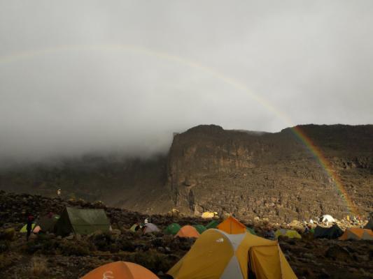
Kilimanjaro's most popular route: rainforest, the Lava Tower and the Barranco Wall.
- Distancia
- 62 km
- Dificultad
- Exigente
- Alojamiento
- Acampada
- Afluencia
- Muy concurrida
 5–6 días
The "Coca-Cola" Route
Marangu Route
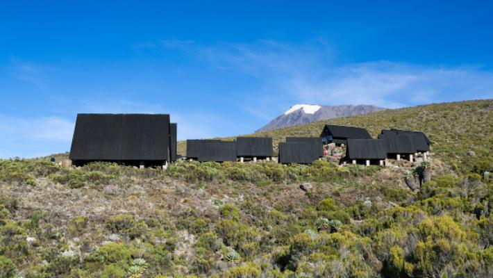
The only Kilimanjaro route with mountain huts instead of tents.
- Distancia
- 72 km
- Dificultad
- Moderada
- Alojamiento
- Refugios
- Afluencia
- Muy concurrida
 6–7 días
La ofrecemos
6–7 días
La ofrecemos
Rongai Route
The quiet northern approach, from the Kenyan border side.
- Distancia
- 73 km
- Dificultad
- Moderada
- Alojamiento
- Acampada
- Afluencia
- Tranquila
¿Listo para ascender el Mount Kilimanjaro?
Cuéntenos sus fechas, su forma física y lo que quiere ver. Le recomendaremos la montaña y la ruta que le dan las mejores opciones de una gran ascensión.
Plan Your Safari