The "Whiskey" Route
Machame Route
Kilimanjaro's most popular route: rainforest, the Lava Tower and the Barranco Wall.
Photo: KpokeJlJla, CC BY-SA 4.0
- Durée
- 6 à 7 jours
- Distance
- 62 km
- Sommet
- 5,895 m
- Hébergement
- Camping
- Affluence
- Très fréquentée
- Difficulté
- Exigeante
The Machame Route climbs Kilimanjaro from the south-west in 6–7 days, through every climate zone, with a "walk high, sleep low" day at the Lava Tower and the famous Barranco Wall.
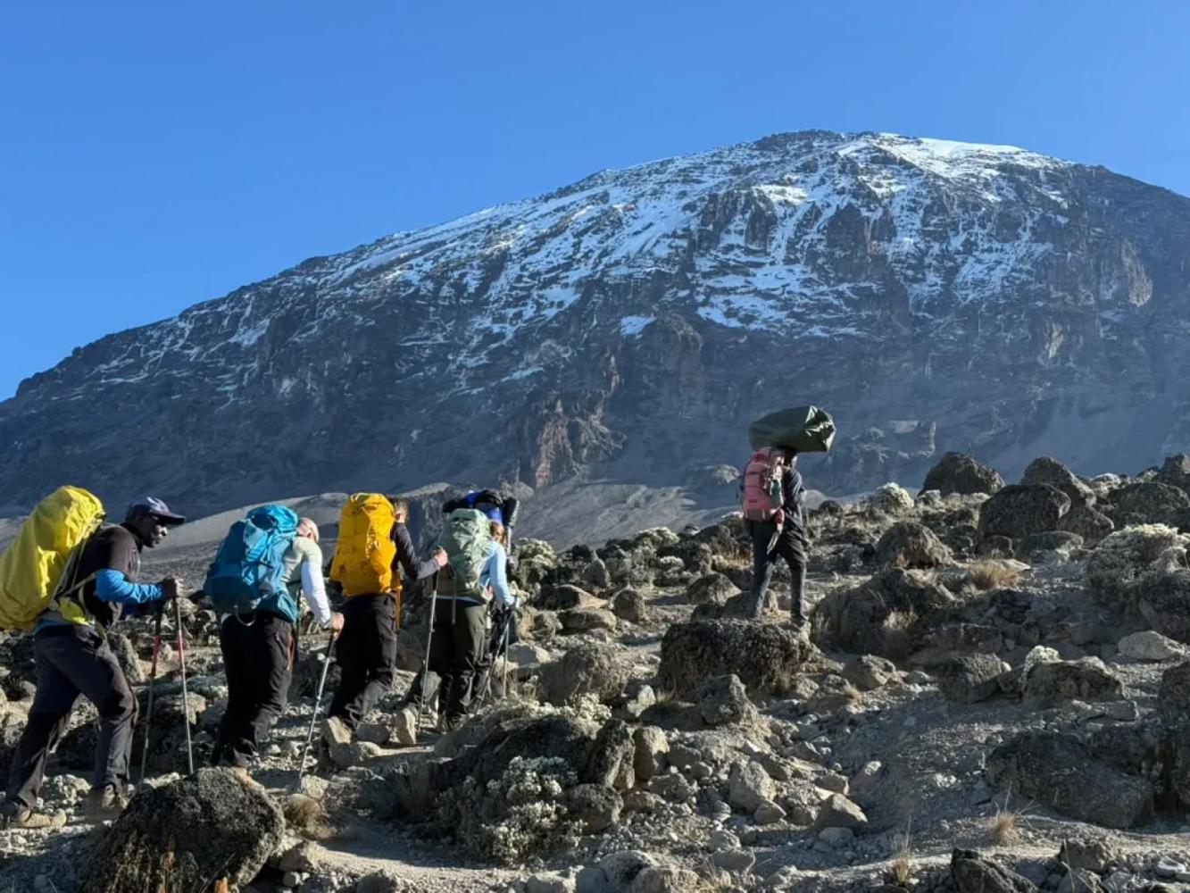
The Machame Route is the route most people picture when they think of climbing Kilimanjaro. It starts at Machame Gate on the mountain's wet south-western slopes, climbs through dense rainforest to the Shira Plateau, traverses beneath the southern glaciers and summits from the east. About 62 km long, it is nicknamed the "Whiskey" route because it is tougher than the hut-based Marangu ("Coca-Cola") route.
Why the Machame Route Works
Machame's great strength is its shape. On day three you climb to the Lava Tower at 4,630 m, then drop to sleep at Barranco Camp at 3,960 m. This "walk high, sleep low" day is the single best thing you can do to prepare your body for the summit, and it is built into the route. The seven-day version adds a night at Karanga Camp, which splits the long day before the summit in two and noticeably improves summit success.
The Barranco Wall
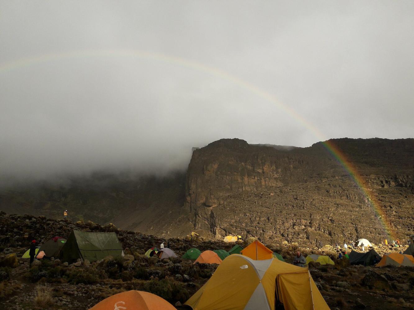
The morning after Barranco, the trail climbs the Barranco Wall, a 257 m rock face that looks far harder than it is. It is a scramble, not a technical climb: you use your hands in places, there is one step known as the "Kissing Rock", and it takes one to two hours. For many climbers it is the most enjoyable part of the whole trek.
Summit and Descent
From high camp the route climbs through the night to the crater rim at Stella Point (5,756 m), then follows the rim for about 45 minutes to Uhuru Peak (5,895 m). The descent is by the Mweka Route, straight down the southern slopes to Mweka Gate, so you never retrace your steps.
Pourquoi choisir cette voie
- A built-in "walk high, sleep low" day at the Lava Tower (4,630 m)
- The Barranco Wall scramble, with views across to Mount Meru
- All five of Kilimanjaro's climate zones in a single climb
- A different way down: descent by the Mweka Route
Bon à savoir
- It is the busiest route on the mountain, especially June to October
- Camping only: there are no huts on this route
- The six-day version skips Karanga Camp and has a lower summit success rate; we recommend seven days
- Our climbs summit from Kosovo Camp (4,800 m), a permit-only camp above Barafu that shortens summit night by about an hour.
Carte de la voie
Carte de la Machame Route
Le sentier tel qu’il est sur le terrain, avec chaque porte, camp et point haut. Touchez un lieu dans la liste pour le trouver sur la carte.
Altitude
Profil d’altitude
Jusqu’où vous montez, et où vous dormez. Les creux de la courbe sont des journées « monter haut, dormir bas », qui aident votre corps à s’adapter.
Jour par jour
Itinéraire de la Machame Route
Voici le programme de notre circuit « Kilimandjaro, voie Machame – 7 jours ».
Route depuis Arusha jusqu’à la porte de Machame, enregistrement puis départ à travers une forêt tropicale dense, sur un sentier régulier et bien tracé, jusqu’au premier camp à la lisière de la forêt.
Nuit: Camp Machame
On laisse la forêt derrière soi pour gravir une crête rocheuse à travers les bruyères géantes jusqu’au plateau de Shira, avec vue sur le Kibo et, au-delà des nuages, sur le mont Meru.
Nuit: Camp Shira Cave
Une journée clé pour l’acclimatation : montée au Lava Tower pour le déjeuner, puis descente dans la vallée de Barranco, où poussent des séneçons géants sous le Breach Wall.
Nuit: Camp Barranco
Escalade facile du Barranco Wall, puis traversée des crêtes et vallées du circuit sud jusqu’au camp Karanga, avec les glaciers du Kibo tout proches.
Nuit: Camp Karanga
Montée à travers le désert alpin, au-delà de Barafu, jusqu’au camp de Kosovo, le camp de base le plus élevé, qui raccourcit la nuit du sommet. Dîner tôt et repos avant la tentative au sommet.
Nuit: Camp Kosovo
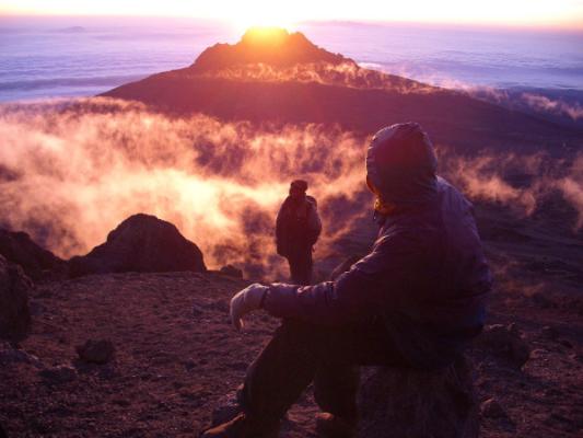
Réveil vers minuit et ascension à la lampe frontale depuis le camp de Kosovo, sur les pentes d’éboulis, jusqu’à Stella Point sur le bord du cratère, que l’on atteint au lever du soleil sur le Mawenzi. De là, environ une heure le long du cratère, au pied des glaciers, mène à l’Uhuru Peak, le point culminant de l’Afrique. Après les photos au sommet, descente jusqu’au camp Mweka, en forêt, pour un dîner et un repos bien mérités.
Nuit: Camp Mweka
Une dernière descente à travers la forêt tropicale, souvent avec des colobes dans les arbres, jusqu’à la porte de Mweka. Remise du certificat de sommet, au revoir à l’équipe et retour à Arusha pour une douche chaude et un dîner de célébration.
Nuit: Arusha
Bon à savoir
Machame Route : questions fréquentes
How long is the Machame Route? +
About 62 km from Machame Gate to Mweka Gate, walked in six or seven days. We recommend seven days, with an extra night at Karanga Camp.
Is the Barranco Wall dangerous? +
No. It is a 257 m scramble where you use your hands in places, but no ropes or climbing skills are needed, and guides help at every awkward step. It takes one to two hours.
Why is it called the Whiskey Route? +
Because it is harder than the Marangu Route, which is nicknamed the Coca-Cola Route. Machame is steeper, longer and camping-only.
Are there huts on the Machame Route? +
No. Machame is a camping route. On our climbs you sleep in four-season mountaineering tents, with a private toilet and shower tent for your group.
Comparer
Autres voies du Mount Kilimanjaro
 7 à 8 jours
Nous la proposons
7 à 8 jours
Nous la proposons
Lemosho Route
The most beautiful way up: a quiet western start across the Shira Plateau.
- Distance
- 70 km
- Difficulté
- Exigeante
- Hébergement
- Camping
- Affluence
- Fréquentation moyenne
 5 à 6 jours
The "Coca-Cola" Route
Marangu Route
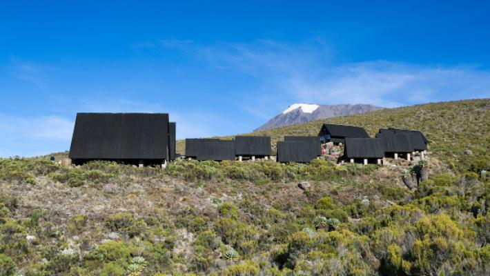
The only Kilimanjaro route with mountain huts instead of tents.
- Distance
- 72 km
- Difficulté
- Modérée
- Hébergement
- Refuges
- Affluence
- Très fréquentée
 6 à 7 jours
Nous la proposons
6 à 7 jours
Nous la proposons
Rongai Route
The quiet northern approach, from the Kenyan border side.
- Distance
- 73 km
- Difficulté
- Modérée
- Hébergement
- Camping
- Affluence
- Calme
Prêt à gravir le Mount Kilimanjaro ?
Indiquez-nous vos dates, votre forme et ce que vous souhaitez voir. Nous vous recommanderons la montagne et la voie qui vous offrent les meilleures chances d’une belle ascension.
Plan Your Safari