Mount Kilimanjaro
Rongai Route
The quiet northern approach, from the Kenyan border side.
- Duration
- 6–7 days
- Distance
- 73 km
- Summit
- 5,895 m
- Sleeping
- Camping
- Crowds
- Quiet
- Difficulty
- Moderate
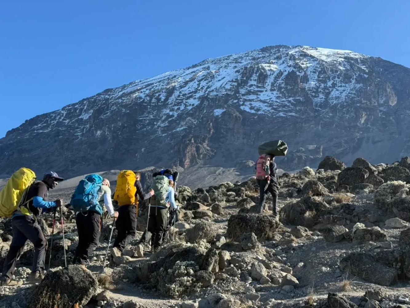
The Rongai Route is the only route that climbs Kilimanjaro from the north. It is drier and far quieter than the southern routes, passes beneath the spires of Mawenzi and descends by the Marangu Route.
The Rongai Route starts close to the Kenyan border on Kilimanjaro's northern side, a drive of several hours around the mountain from Arusha. The north lies in Kilimanjaro's rain shadow, so the slopes are drier, the forest is thinner and the trail stays in better condition when the south is wet. It is also the least crowded of the standard routes.
A Steady Climb to Mawenzi
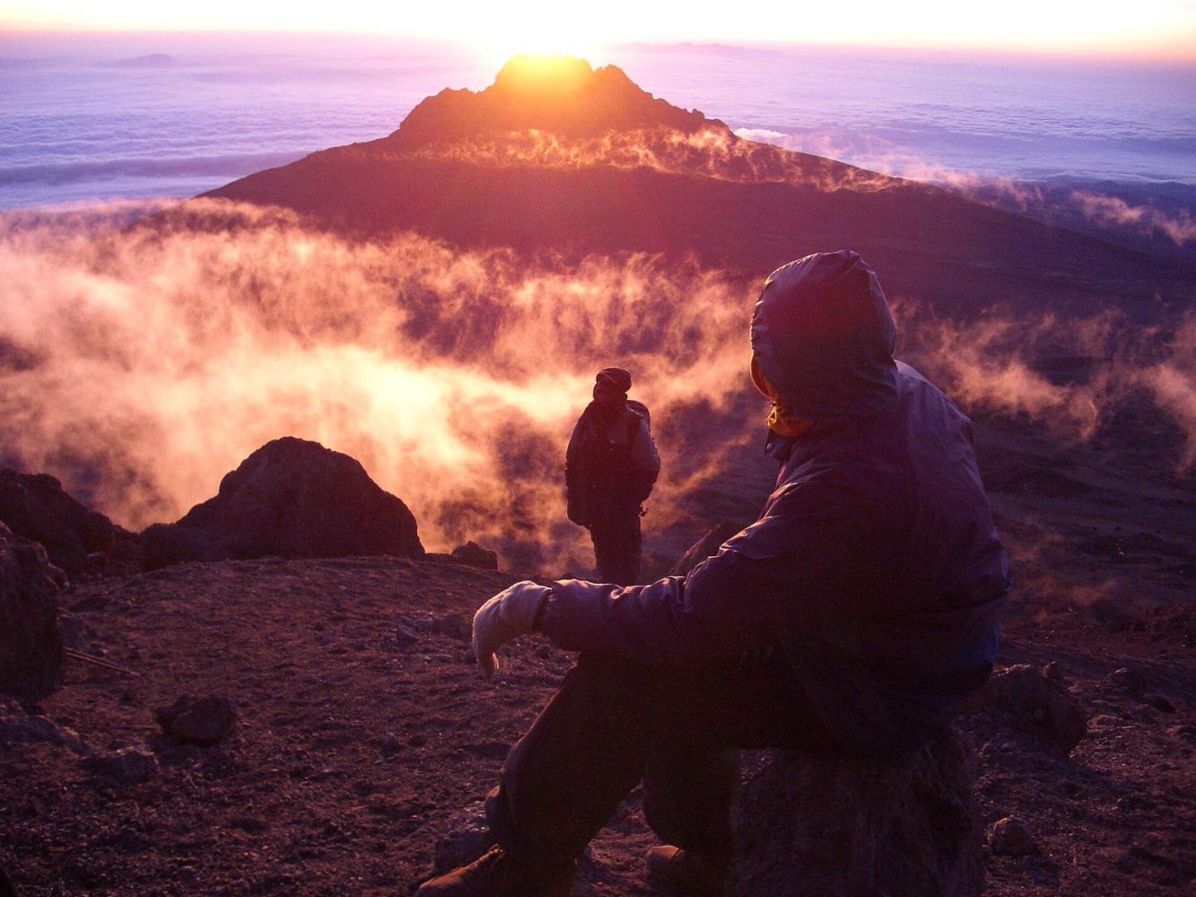
Rongai gains height gradually through farmland, pine forest and moorland, with wide views north over the Kenyan plains. The seven-day itinerary turns east to Mawenzi Tarn (4,330 m), a small lake in a cirque directly beneath the dark spires of Mawenzi, Kilimanjaro's second peak. A night here is the acclimatisation step the shorter version lacks, and one of the most dramatic camps on the mountain.
Across the Saddle
From Mawenzi Tarn the trail crosses the Saddle, the high desert between Mawenzi and Kibo, to Kibo Hut (4,720 m). The summit climb is the same as on Marangu: up the scree to Gilman's Point (5,685 m), then around the crater rim to Uhuru Peak.
Two Sides of the Mountain
Rongai descends by the Marangu Route on the south-east, so you see the dry north on the way up and the green south on the way down.
Why Choose This Route
- The quietest of the standard routes
- Drier slopes: a good choice in the wetter months
- A night at Mawenzi Tarn beneath the spires of Mawenzi
- Up the north side, down the south-east
Good to Know
- A longer drive to the start, around the mountain
- Less varied forest than the southern and western routes
- No natural "walk high, sleep low" day: choose seven days for Mawenzi Tarn
- Summit via Gilman's Point adds one and a half to two hours along the crater rim
Route Map
Map of the Rongai Route
The trail as it runs on the ground, with every gate, camp and high point. Press a place in the list to find it on the map.
Altitude
Altitude Profile
How high you climb, and where you sleep. Dips in the line are "walk high, sleep low" days, which help your body adjust.
Day by Day
Rongai Route Itinerary
This is the plan we follow on our Kilimanjaro Rongai Route – 7 Days.
A long drive from Arusha around the mountain to the Rongai trailhead near the Kenyan border. The trail climbs gently through farmland and pine forest to the first camp on the edge of the moorland.
Overnight: Simba Camp
A steady climb across open moorland, with views back over the plains of Kenya and ahead to Kibo and the jagged peaks of Mawenzi.
Overnight: Second Cave Camp
Head across the moorland towards Mawenzi to Kikelewa Camp, set in a sheltered valley among giant groundsels. A short day that helps acclimatisation.
Overnight: Kikelewa Camp
A short, steep climb to Mawenzi Tarn, a small mountain lake beneath the towering spires of Mawenzi. An afternoon acclimatisation walk is recommended.
Overnight: Mawenzi Tarn Camp
Cross the lunar landscape of the Saddle between Mawenzi and Kibo to Kibo Hut at the foot of the summit cone. An early dinner and rest before the summit attempt.
Overnight: Kibo Hut
Set off around midnight up the steep switchbacks to Gilman's Point on the crater rim, then follow the rim to Uhuru Peak as the sun rises. Descend to Kibo Hut for a rest and continue down to Horombo Hut for the night.
Overnight: Horombo Hut
Descend through moorland and rainforest on the Marangu Route to Marangu Gate. Collect your summit certificate, say goodbye to the crew and drive back to Arusha to celebrate.
Overnight: Arusha
Good to Know
Rongai Route: Frequently Asked Questions
Is the Rongai Route good in the rainy season? +
Yes. The northern slopes receive much less rain than the south, so Rongai is the best camping route when the weather is wet.
How busy is the Rongai Route? +
It is the quietest of the standard routes until Kibo Hut, where it meets the Marangu Route for the summit climb.
Do you see wildlife on the Rongai Route? +
The lower northern slopes are among the wilder parts of Kilimanjaro, and colobus monkeys are often seen in the forest. Large animals are occasionally seen but should not be expected.
Compare
Other Routes up Mount Kilimanjaro
 6–7 days
We climb this
6–7 days
We climb this
The "Whiskey" Route
Machame Route
Kilimanjaro's most popular route: rainforest, the Lava Tower and the Barranco Wall.
- Distance
- 62 km
- Difficulty
- Challenging
- Sleeping
- Camping
- Crowds
- Busy
 7–8 days
We climb this
7–8 days
We climb this
Lemosho Route
The most beautiful way up: a quiet western start across the Shira Plateau.
- Distance
- 70 km
- Difficulty
- Challenging
- Sleeping
- Camping
- Crowds
- Moderate traffic
 5–6 days
The "Coca-Cola" Route
Marangu Route
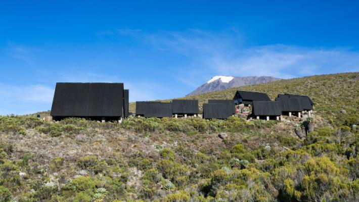
The only Kilimanjaro route with mountain huts instead of tents.
- Distance
- 72 km
- Difficulty
- Moderate
- Sleeping
- Mountain huts
- Crowds
- Busy
Ready to Climb Mount Kilimanjaro?
Tell us your dates, your fitness and what you want to see. We will recommend the mountain and route that give you the best chance of a great climb.
Plan Your Safari